SG Highway: Ahmedabad’s western corridor
The Sarkhej–Gandhinagar Highway is a fast-growing belt of offices, malls and new housing west of the Sabarmati.

Character of the zone
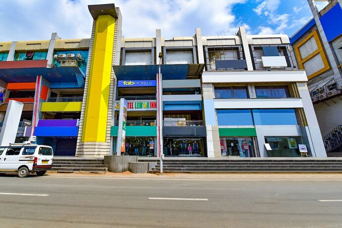
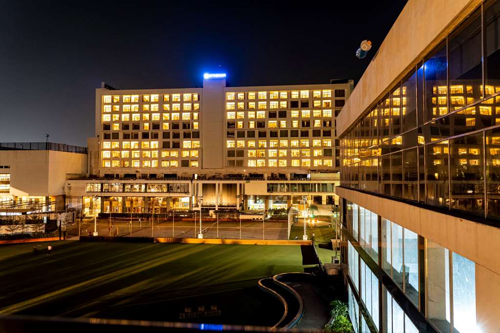
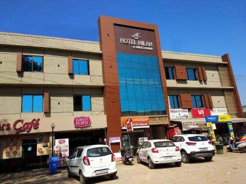
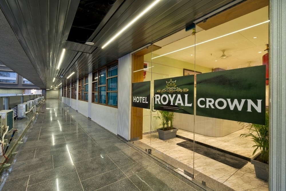
SG Highway runs north–south along the western edge of Ahmedabad, linking Sarkhej in the south with Gandhinagar in the north. It is a wide, modern road lined with glass-fronted office towers, shopping centres and new apartment complexes. Unlike the historic walled city, this corridor is planned, with broad pavements and service roads. Traffic moves fast, so crossing on foot requires care. The zone is home to many of Ahmedabad’s corporate headquarters, IT parks and business hotels. By day the area is busy with office workers; in the evenings the malls and food courts fill up. The atmosphere is contemporary and commercial, with little of the old city’s clutter. For visitors who prefer a modern base, this is the most convenient part of town.
The corridor is divided into distinct neighbourhoods, each with its own character. Satellite, around the Iscon crossroads, is the oldest western suburb, with a dense mix of shops and restaurants. Bodakdev, just off the highway, is quieter and more upscale, with large apartment complexes and corporate hotels. Prahlad Nagar is the business district: a grid of office towers around a central garden. Sola and the Science City road lie north of Prahlad Nagar, near the Gujarat High Court and the Science City complex. Gota, further north, is a rapidly growing residential area on the road to Gandhinagar. Bopal, to the west of the highway, is a newer suburb of gated communities. Vejalpur and Jodhpur, south of Satellite, are mainly residential, with local markets and easy access to Sarkhej.
How the neighbourhoods differ
Satellite is the most established western suburb, centred on the Iscon crossroads. It has a dense mix of shops, restaurants and residential blocks, and is well connected by metro and BRTS. Bodakdev, just off the highway, is quieter and more upscale, with large apartment complexes and a handful of corporate hotels. Prahlad Nagar is the business district: a grid of office towers around a central garden, with several large hotels. Sola and the Science City road lie north of Prahlad Nagar, near the Gujarat High Court and the Science City complex. Gota, further north, is a rapidly growing residential area on the road to Gandhinagar.
Bopal, to the west of the highway, is a newer suburb of gated communities and a few hotels. It is quieter than Satellite and Prahlad Nagar, with fewer dining options but more open space. Vejalpur and Jodhpur, south of Satellite, are mainly residential, with local markets and easy access to Sarkhej. Each neighbourhood has its own feel, so choose based on your priorities: business travellers often prefer Prahlad Nagar, while families may favour Bodakdev or Bopal. The differences are subtle, but they affect the pace of life and the convenience of daily errands.
- Satellite: shops, restaurants, busy crossroads.
- Prahlad Nagar: office towers, corporate hotels, a central garden.
- Bopal: new housing, quieter streets, limited dining options.
- Gota: fast-growing north-west, close to Gandhinagar road.
Getting around and distances
The Ahmedabad Metro serves parts of the corridor: the Blue Line runs east–west from Vastral Gam to Thaltej, with stations near the Iscon crossroads and in Bodakdev. The Red Line runs north–south from Motera Stadium to APMC, with a stop near the Gujarat High Court. BRTS buses (Janmarg) run along SG Highway, and AMTS buses connect the suburbs to the city centre. From SG Highway to the walled city is about 10–12 km, a 25-minute drive in light traffic. The airport is roughly 15 km east, and the railway station at Kalupur is about 12 km away.
App-based cabs and auto-rickshaws are plentiful throughout the corridor. Parking is available at most malls and office complexes, though it can be tight during peak hours. For east–west travel, the metro is the most efficient option, avoiding traffic on the busy crossroads. For north–south journeys along SG Highway, BRTS buses are reliable and frequent. Walking between neighbourhoods is not practical due to the distances and traffic, but short auto rides are cheap and easy. Always check the current metro and bus schedules before travelling.
Sights nearby
Gujarat Science City, on the Science City road, is a large science centre with interactive exhibits, an aquarium and a planetarium. It is popular with families and school groups. Law Garden, in the Navrangpura area, hosts a night market of handicrafts and street food stalls from early evening. Sarkhej Roza, a 15th-century mosque and tomb complex on the south-western edge of the city, is a peaceful architectural site worth a short drive. The Sabarmati Riverfront and Atal Bridge are about 8–10 km east of SG Highway, offering a long promenade and a footbridge across the river.
The Sidi Saiyyed Mosque, famous for its stone jali windows, and Sabarmati Ashram, where Gandhi lived from 1917 to 1930, are in the central area, about 10–12 km from SG Highway. Bhadra Fort and Teen Darwaza, the historic gate, are in the walled city, about 12 km away. These sights are best reached by cab or auto, as public transport connections from the western suburbs are indirect. Plan a half-day trip to the walled city to see the major monuments. For a shorter outing, Science City and Law Garden are closer and easier to reach.
- Gujarat Science City: interactive exhibits, aquarium, planetarium.
- Law Garden: night market for handicrafts and street food.
- Sarkhej Roza: 15th-century mosque and tomb complex.
- Sabarmati Ashram: Gandhi’s residence, free entry.
Who should stay here and practical tips
SG Highway is ideal for business travellers attending meetings in the corporate towers of Prahlad Nagar or the Gujarat High Court. It also suits visitors who prefer modern hotels, air-conditioned malls and easy access to the airport. Families may appreciate the spacious apartments in Bodakdev or Bopal, and the proximity to Science City. The area is less suited to those seeking heritage or street life; the walled city offers a more traditional experience. Most hotels and malls have security at entrances. Carry a copy of your hotel booking and ID.
The area is generally safe for walking during the day, but at night stick to well-lit main roads. Side streets can be quiet, so use a cab for longer distances after dark. Gujarat is a dry state, so alcohol is not sold freely; visitors may obtain a temporary permit through licensed outlets. Check the current rules before your trip. Most restaurants serve vegetarian food, and many are pure-veg. The climate is best from November to February, with warm days and cool nights. From March to June it is very hot, often above 40 °C in May.